Pha Taem National Park
THAI NAME: อุทยานแห่งชาติผาแต้ม
LOCATION: Khong Chaim District in Ubon Ratchathani Province
GPS: 15.449649 105.581175
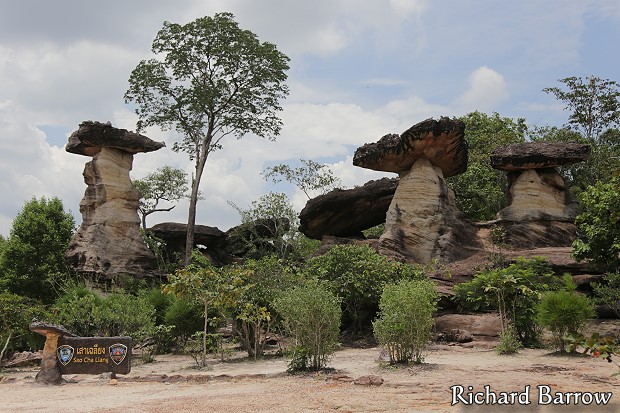
Sao Chaling is 11 kilometers from Amphoe Khong Chaim on the Highway 2112, the place is scattered with natural mush-room-like piles of stone slabs with a large amount of shells stuck in their texture. The area is believed by geologists to be a long dried sea.
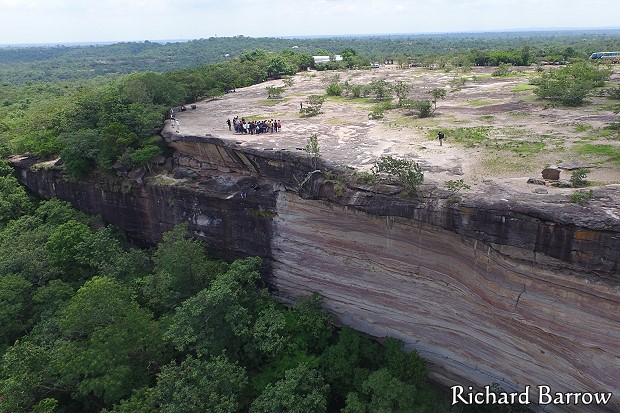
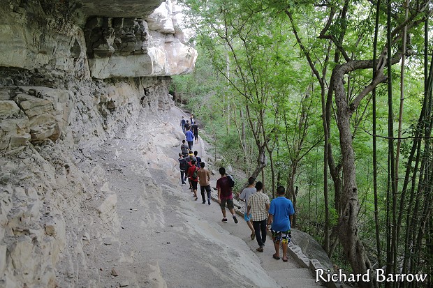
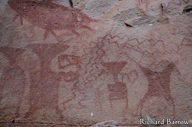
Pha Taem and Pha Mon are located 3 kilometers beyond Sao Chaliang. Pha Taem and Pha Mon are two steep cliffs overlooking Mekong river with a clear view of Laos on the other side. On the cliffs surface there are prehistoric paintings dating back 3,000 – 4,000 years, reflecting ancient ways of life of the people who once lived in the area, such as Buk fishing (Buk is a species of large scaleless fish found in the Mekong river), and rice farming. Figures of people, animals, hands and geometric designs are also depicted.